September heating up in Manitoba, but not enough to trigger warning: expert
“The typical values you would see at this time of year, using a 30-year average … would be around daytime highs of 20 (C), and nighttime temperatures around plus-seven,” said Natalie Hasell, a warning preparedness meteorologist with Environment and Climate Change Canada.

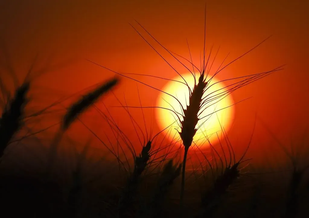
Though it's already September, the weather in the Prairies is more reminiscent of summer, with an ongoing heatwave.
“The typical values you would see at this time of year, using a 30-year average … would be around daytime highs of 20°C, and nighttime temperatures around plus-seven,” explained Natalie Hasell, a warning preparedness meteorologist with Environment and Climate Change Canada.
However, due to a weather system moving in from New Mexico and the southern United States, temperatures in Winnipeg are expected to soar into the mid-30s this week, with the humidex making it feel even warmer.
While these high temperatures are uncommon, Hasell reassured that they aren’t unprecedented. “It’s not normal to have temperatures this warm, but it’s not unusual either,” she said. “If we look at Winnipeg’s records, for instance, today’s (Sept. 9) temperature record is 36.1°C. That was actually hit in 1906.”
The system bringing the heat is dry, which will help keep nighttime temperatures cooler, offering some relief. “We’re still talking about temperatures that are cool enough to not warrant a warning criteria event,” Hasell noted. “Nighttime temperatures won’t be warm enough to pose serious risks or make things very difficult for people.”
Nevertheless, she advised people to remain cautious. “The susceptible or vulnerable populations remain the same. So it’s still a good idea to be a good neighbour. Check in on your friends, family, colleagues, and even just people around you.”
Hasell predicts that Manitoba’s heatwave will subside by the end of the week.


